» posted on Monday, September 19th, 2022 by Linda Lou Burton
Going to Namanga
Linda Lou Burton posting from Namanga, Kenya– ”You’ll have a nice big bus from the 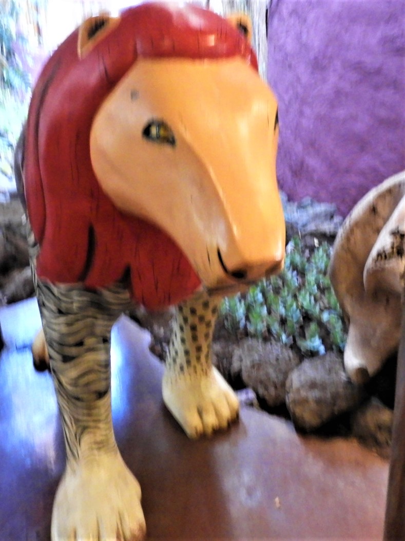 border to Arusha,” Abdi informed us at breakfast. “You all get to ride together.” We cheered, and headed out, past the Simba lion that guarded the door of the dining room, across the timbered bridge and past the sign that warned of monkey bites; ready to ride. The Lodge at Lake Manyara was our destination today, Tanzania! To a person we were glad to be leaving Amboseli’s dust for the promise of the beautiful blue waters of a lake. That, however was almost 200 miles away, 5 hours as the crow flies, but we were not flying. We had many hurtles ahead; many stops; many waits. Many changes of vehicle, and personnel. From our Amboseli Lodge our two Globus drivers, Amos, and the one I’d never even met, would take us to Namanga, the last leg of our journey in Kenya.
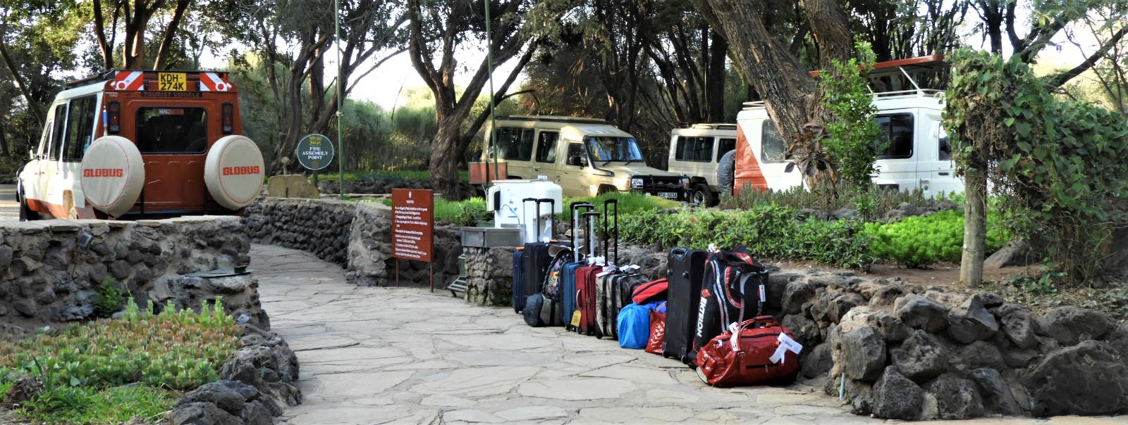
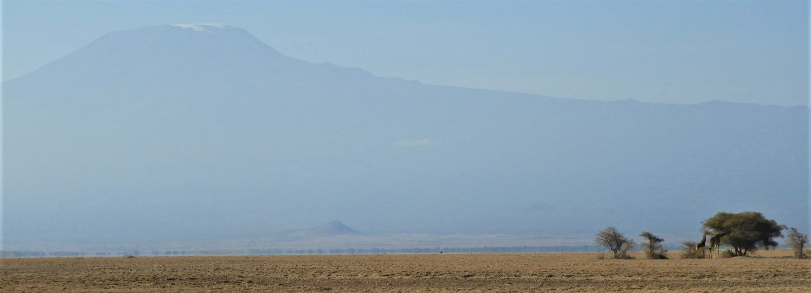
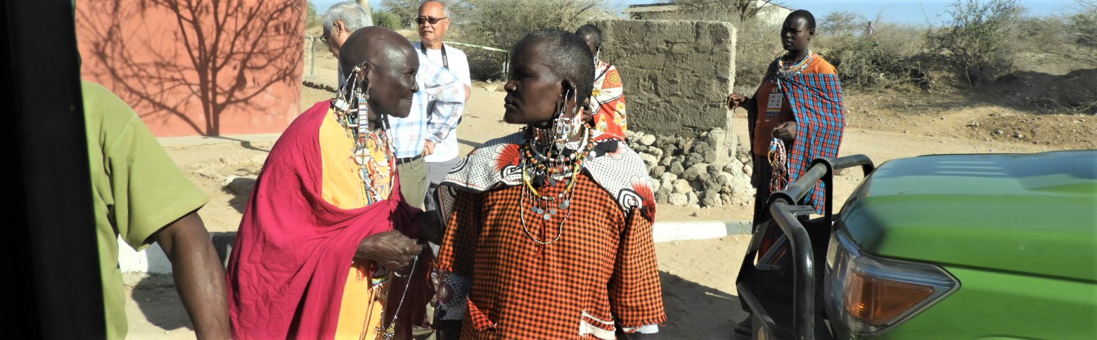
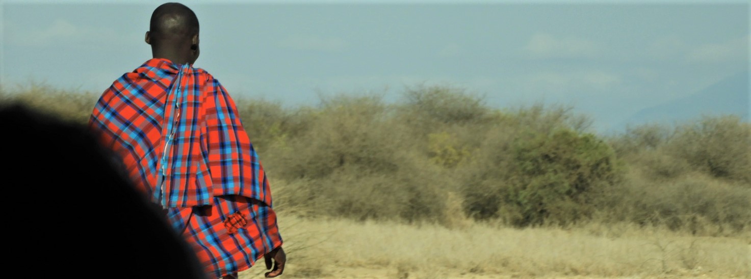
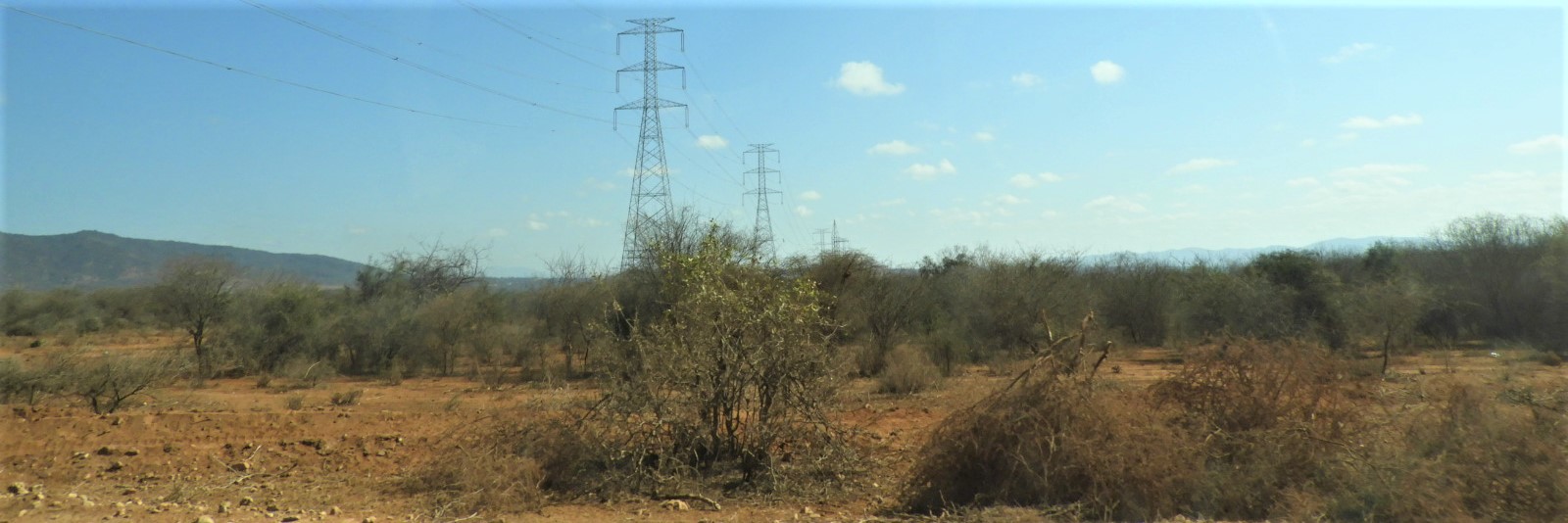
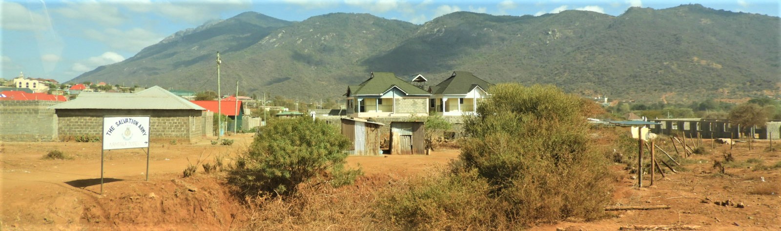
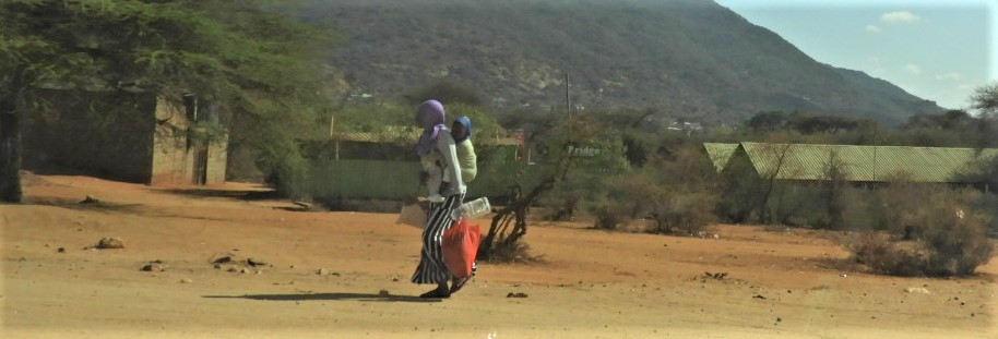
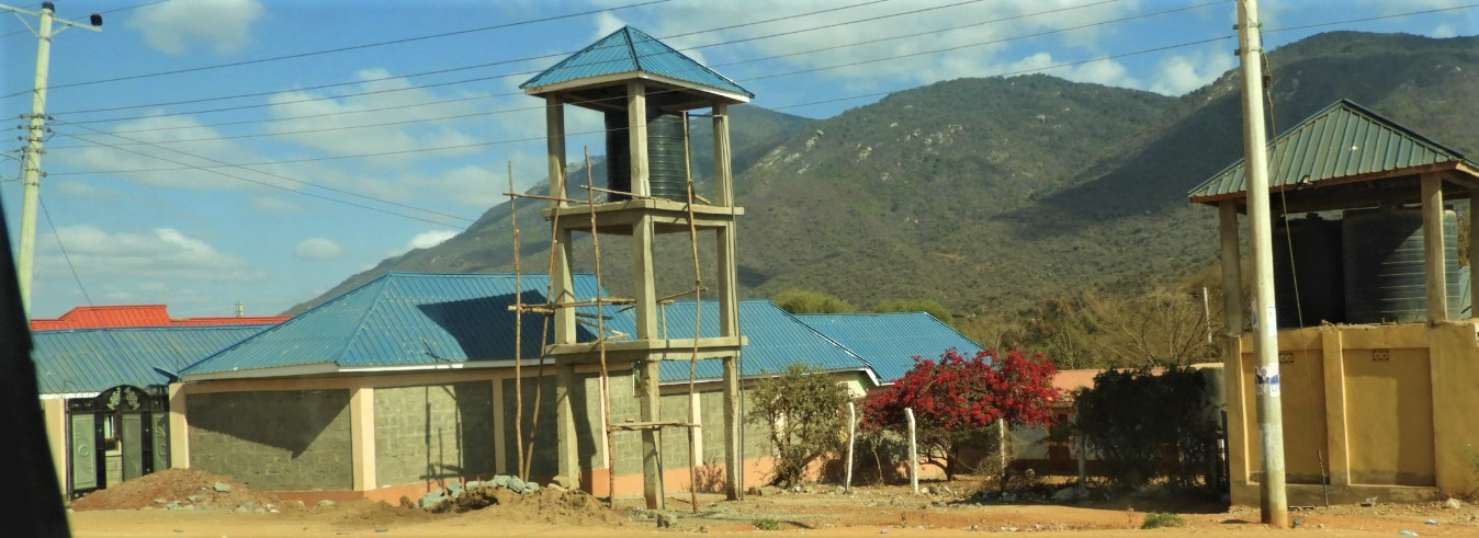
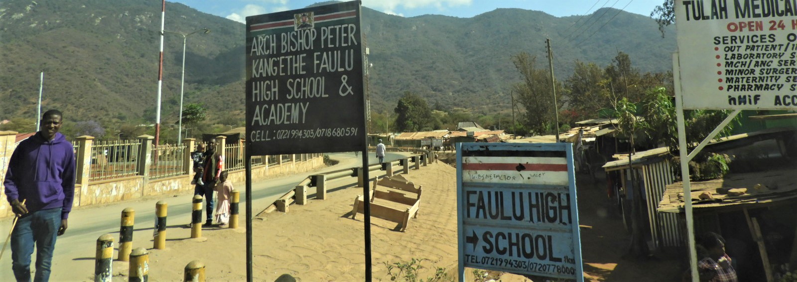
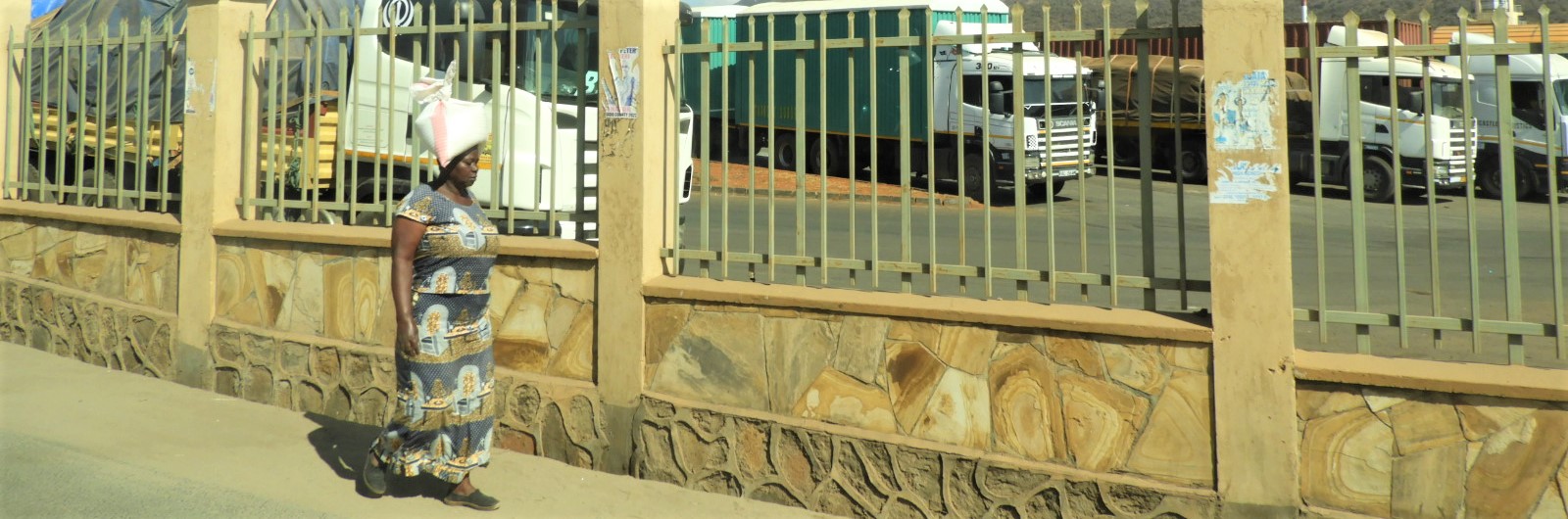
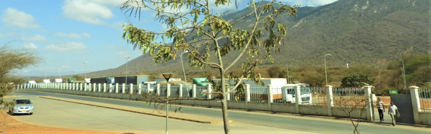
Namanga is a border town, split between Kenya and Tanzania; about 100 miles south of Nairobi and 70 miles north of Arusha; its population is somewhere upwards of 10,000. Tourism supports the town – anyone from Nairobi going to Mt Kilimanjaro passes through the Namanga border crossing. Hills and mountains surround the town – Mt Kili is visible from there; so is Ol Doinyo Orok mountain, also called the Black Mountain, sacred to the Maasai; stretching to the north are the Maparasha Hills. The economy of Namanga also includes the import-export business; trucks haul goods back and forth non-stop between the two countries. Namanga’s main population is Maasai, Kikuyu second; other ethnicity groups include Kama, Somali, Borana, a mixed population.
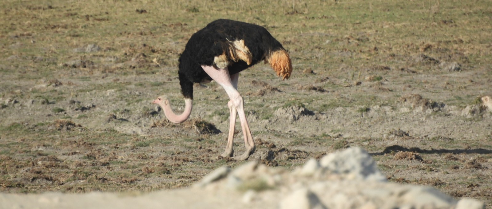
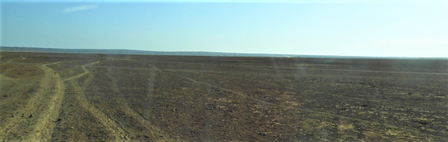
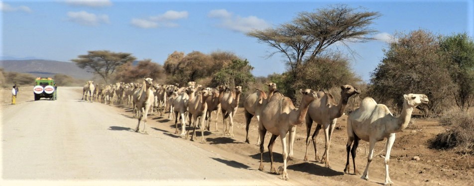
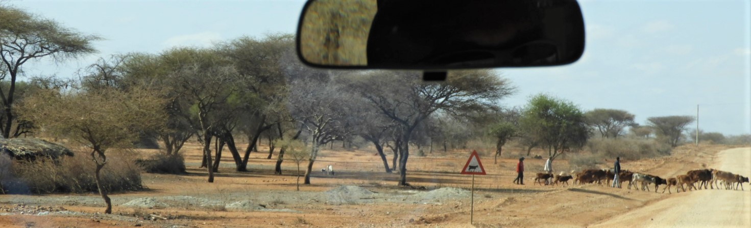
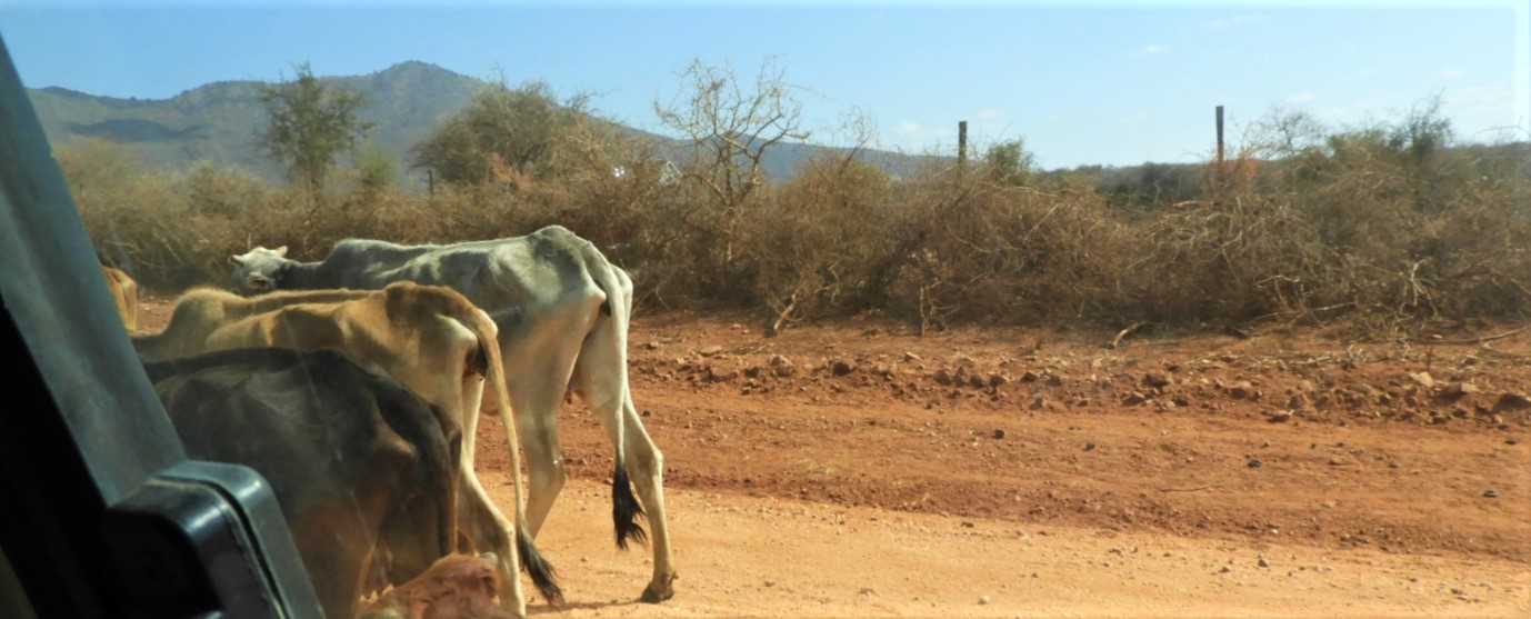
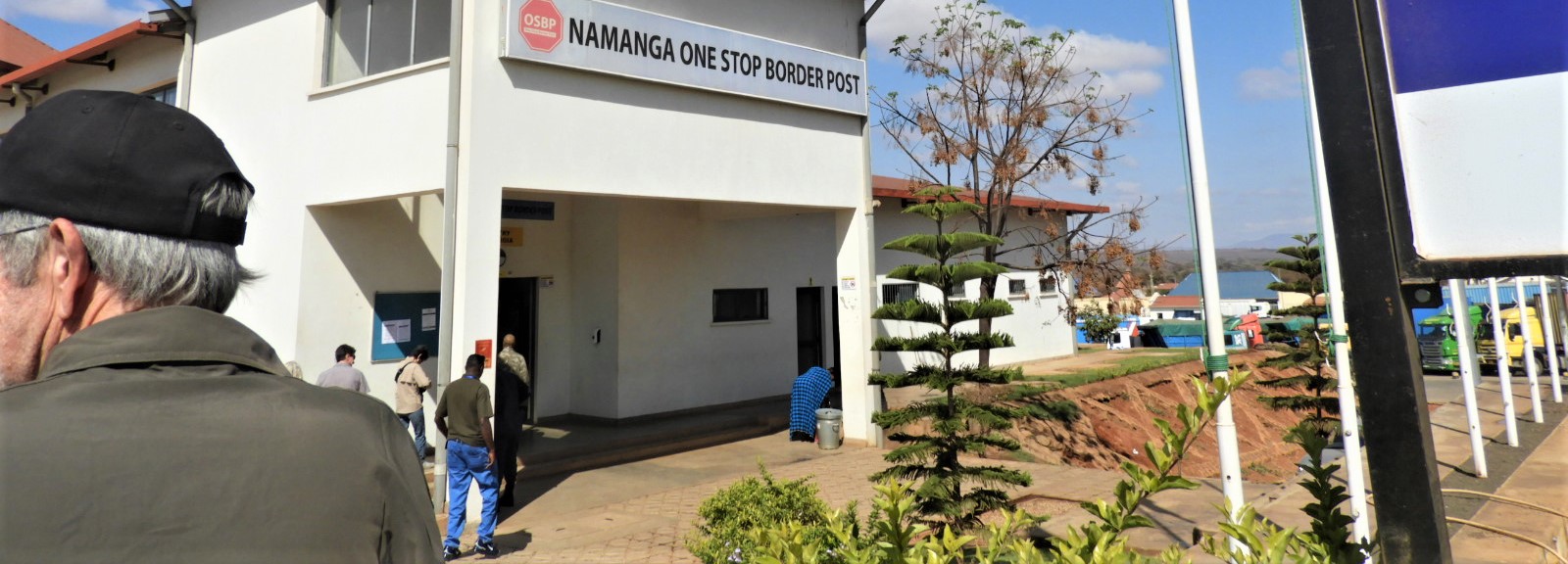
So how did it go? What did we see between our 7:15 departure and 9:30 when we walked into the Namanga One Stop Border Post? Our route was C103 west after departing Amboseli NP, unpaved and dusty red for 50 miles. Take a look.


Next Post: It Wasn’t Exactly A Bus